

The Korean Aerospace Chronicles | Part 1: The DMZ
The year was 2017…
Having started the year volunteering for the YWAM Medical Ship in Papua New Guinea, I was once again deep in study. Central Queensland University gave me a special offer - Foreign exchange in the Republic of Korea. I remember seeing that advertised in 2015, and I thought about it for some time. Eventually, I went for it and joined the 2017 International Summer Program, at Korean Aerospace University in Goyang. Before I knew it, I was taking a Korean Airlines flight from Brisbane to Incheon.
Simply put, I loved my time in Korea. Every night on the town felt like something out of a neon sci-fi film. Every tour of an ancient site was fascinating. I spent it all in good company of some amazing people. Those three weeks felt much longer, with no two days exactly alike. As you can see, my own imagination was flowing, as ideas kept coming every time I was on public transport, writing in the dorm, and other places.
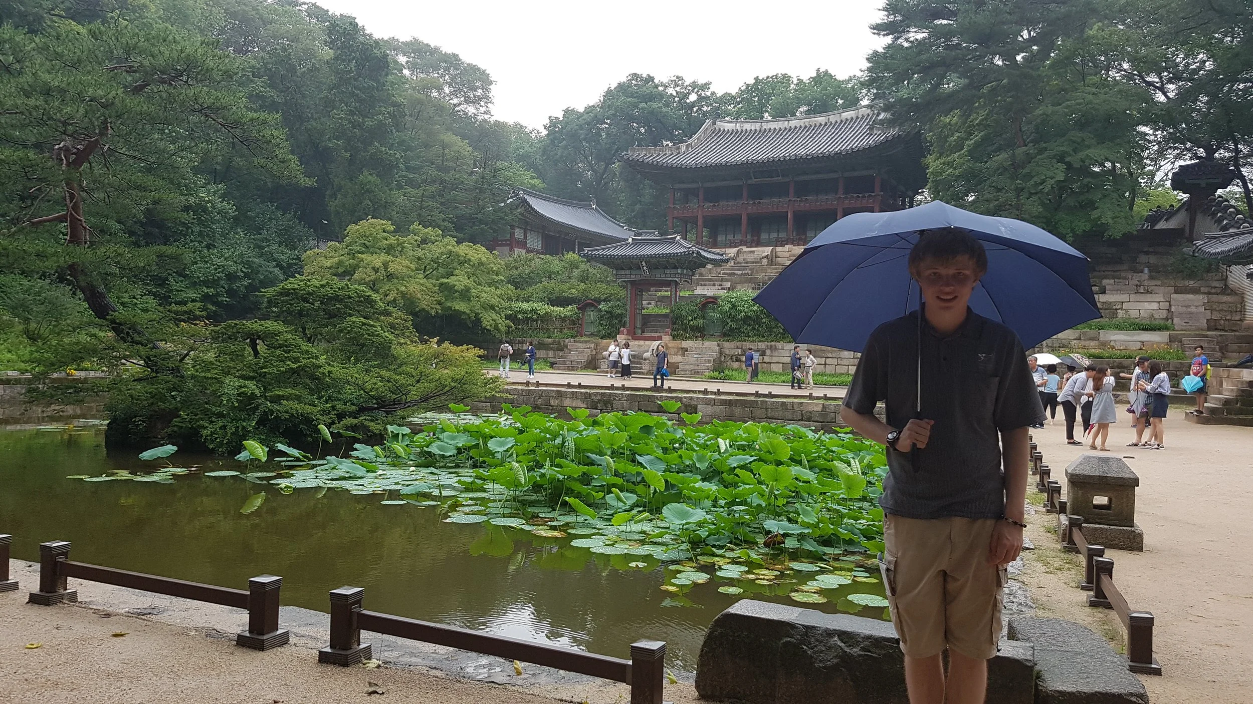
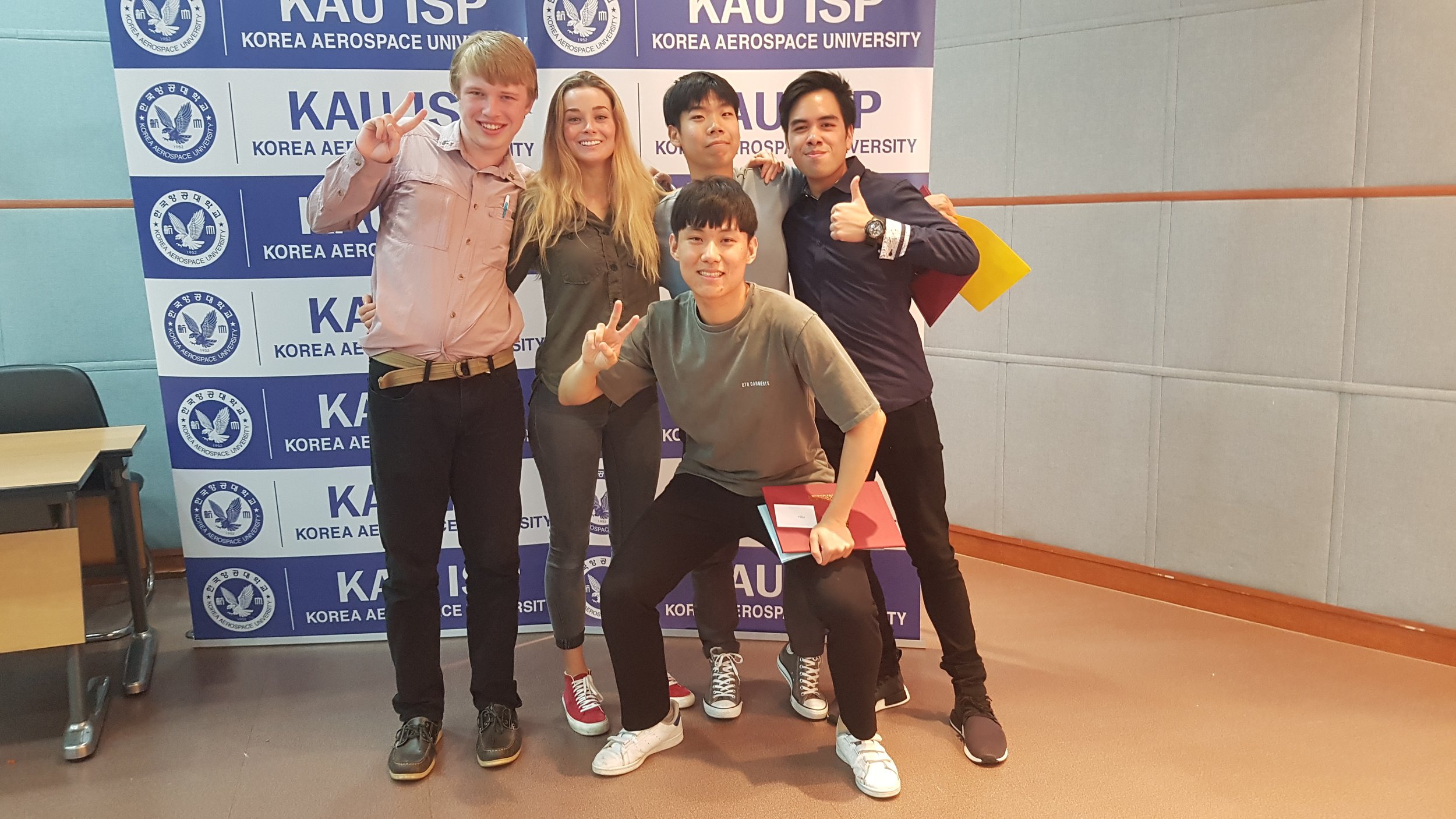
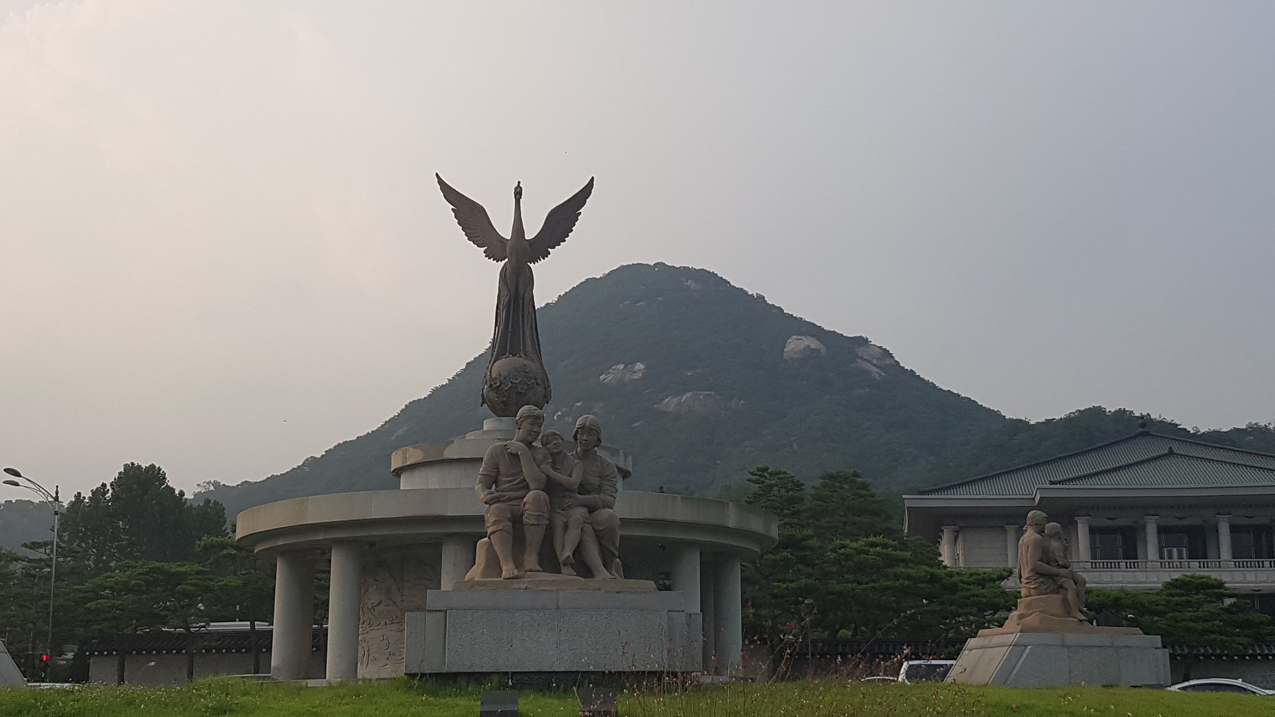
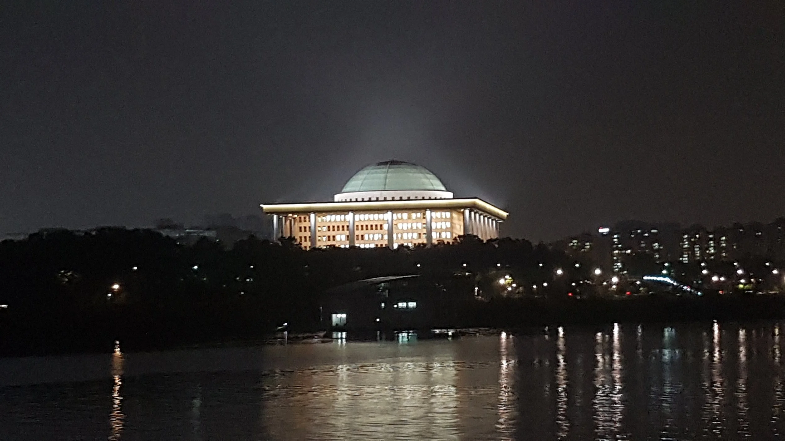
In this campus, I could walk past the UAV Development Room on my way to the washing machine. What an awesome thing to casually do, I thought. All to the upbeat, yet whimsical tune of Antti Martikainen’s “Awakening the Forest,” I had washed and hanged up all my clothes the previous night. Before leaving Australia, I went on a shopping spree in my local Target and Kathmandu stores to get some self-drying outdoor attire. They could easily cope with the long walks through Seoul.
Speaking of long walks, I decided I should probably go on one now that the rain was gone again.
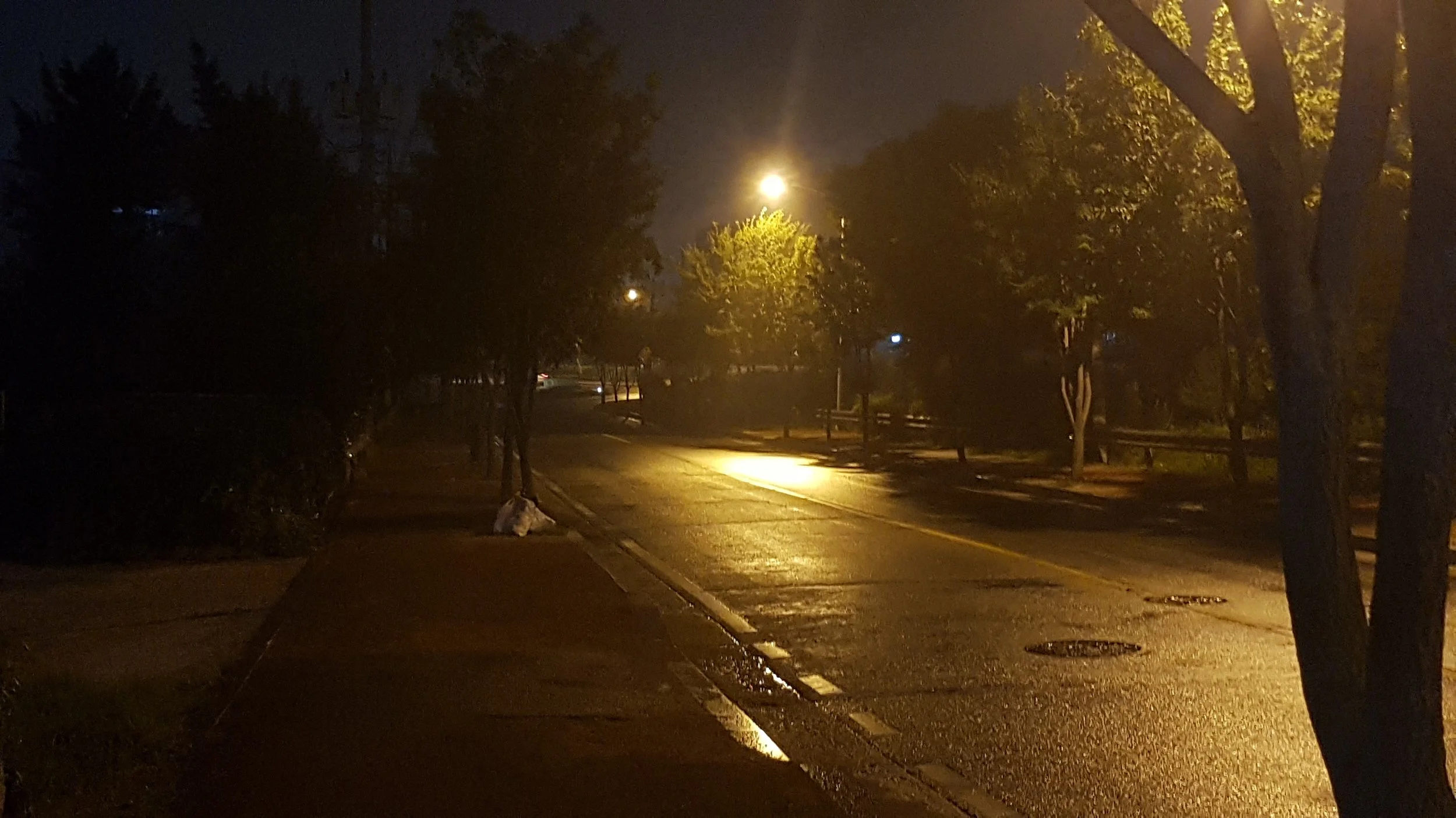
I proceeded across a hallway of laundry racks toward the elevator. As I walked out of my home on the third floor, I noticed the warm humidity of the room, even at night. It was a monsoonal summer, where grey clouds covered the sky and downpours would appear every now and then. Gentle drops of rain were a constant on the windows.
Before I knew it, I was already at the elevator. The falcon in striking pose that dominated the university’s seal stared at me just before the doors opened. Just before I hit the button, I took the opportunity to look out the window one more time. The vast expanse that was the city area of Seoul was continuing seemingly. In the distant beyond the disused airstrip of the university, I could still see the trains moving in and out of the station on their long journey across the many cities. My friends and I would always go to the city on one of those trains. But looking out into the dim light beyond, I knew that beyond the city was Korea’s version of the back country. Farms, fields, and all the stuff I would usually see back home but just in a much more densely packed place.
And just beyond that, the other side of Korea lay to the North, smothered in a darkness befitting of its national identity. I had taken up the South’s habit of referring North Korea as simply “the North” and the South “the Republic,” endorsing the Republic of Korea’s claim as being the one true Korea. The North was putting up the exact same argument, but the Republic’s claim had proven more legitimate, as it preserved more of Korea’s ancient history and prospered more than the North ever could.
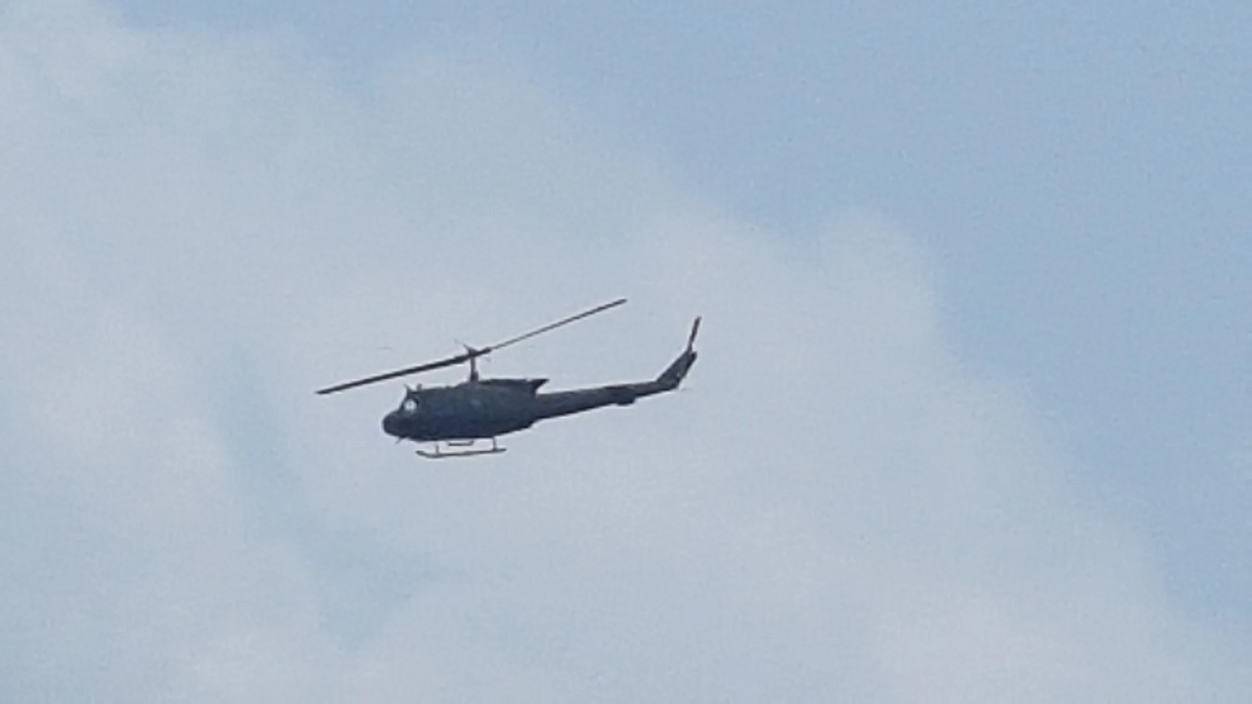
Every so often, an army chopper would fly past the campus. A UH-1, the classic Huey, of the Republic of Korea Army. At first, it was quite a surprise. As the days went by, though, it became just another part of daily life. One time, while playing soccer with the other students, I saw the chopper fly past in the night sky. Something was different, I noticed. Unlike the army choppers back in Australia, this Huey had not turned its navigation lights on…
During my night walk, I came across a sitting area just outside the main campus. The building stood tall and proud as it had done since 1954. In that building, my lecturers taught him the ways of airline operations, airport management, and the Korean language. After being there, I had already formed some wholesome friendships with his students. In just a few days, some of them were going to have a job interview with Korean Airlines. We had also toured of their most impressive hangers. I myself was going to meet up with my parents in Japan and return to Australia.
Nevertheless, this was something that I definitely wanted to be. Ever since I first signed up with Central Queensland University.
Now that I have become an author, specializing in non-fiction, science fiction and geopolitics (or working towards that at least), I have some stories to share. Just like Taiwan in 2023, I have toured areas of Korea that have history and potential future history of warfare. With recent events, I feel now is more of a time than ever to bring them from my computer’s storage to now.
Here is one such story…
8 July 2017
We all got on a bus, taking us to the Korean Demilitarized Zone, intersecting the Korean peninsula’s waist for 248 kilometres (115 miles) and a total area of 992 square kilometres, The weather was a constant grey overcast with rain all over the place. We left Goyang, through Uijeongbu and Pocheon through Gyeonggi Province. The further north we went, the less buildings there were. They became smaller and smaller until it was mostly rice farms and other agricultural areas. The weather began to deteriorate even further as we went, and I joked how the road to North Korea was cartoonishly evil, like that of a fantasy villain’s evil lair.
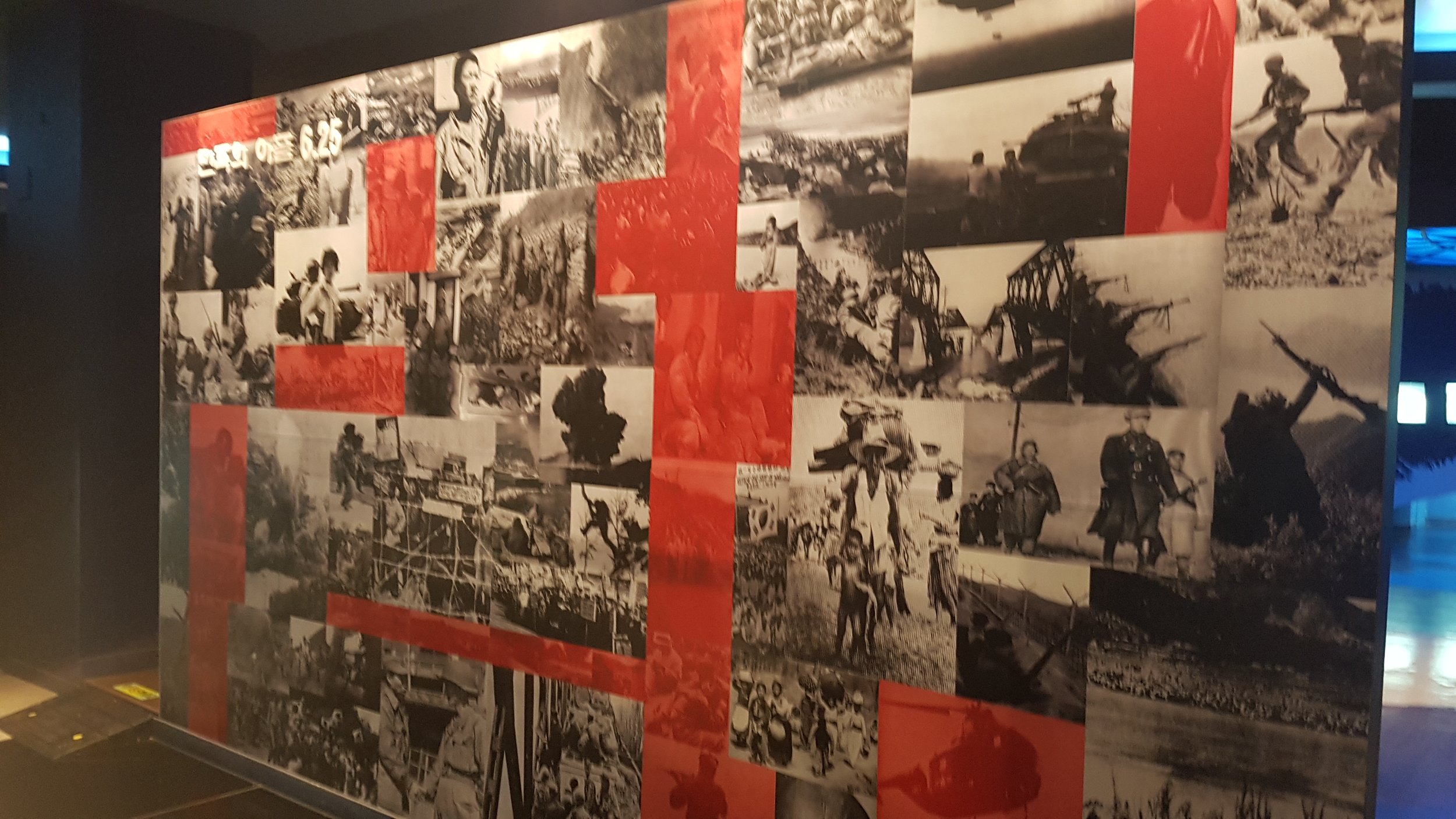
Finally, we reached Cheorwon. After Korea was divided on 15 August 1945 with the independence from Japan, this county in Gangwon was part of North Korea. However, a part of the area was recovered due to ROK military’s march to the North after what the Peace Observatory calls the “6.25 War.” (A local name for the Korean War, because the conflict started on June 25, 1950, and it lasted until the armistice on July 27, 1953.) There were 20,000 residents in the area before the war devastated the area. The pro-Japanese and right-wing Koreans suffered after the independence, while people on the left wing side suffered upon recovery after the armistice.
During the Korean War, the region changed hands several times amid the UN advance into North Korea and China's intervention in South Korea. By 1951, the front line had stabilised across Cheorwon County, and the area became part of the Iron Triangle. The Battle of Arrowhead Hill was fought north of Cheorwon town from 6 to 10 October 1952, followed by the Battle of White Horse Hill from 6 to 15 October 1952. The Battle of Triangle Hill took place north of Gimhwa-eup from 14 October to 25 November 1952.
After the Korean Armistice Agreement was signed, the Korean Demilitarized Zone split Cheorwon County in two, creating Cheorwon County in South Korea and Chorwon County in North Korea.
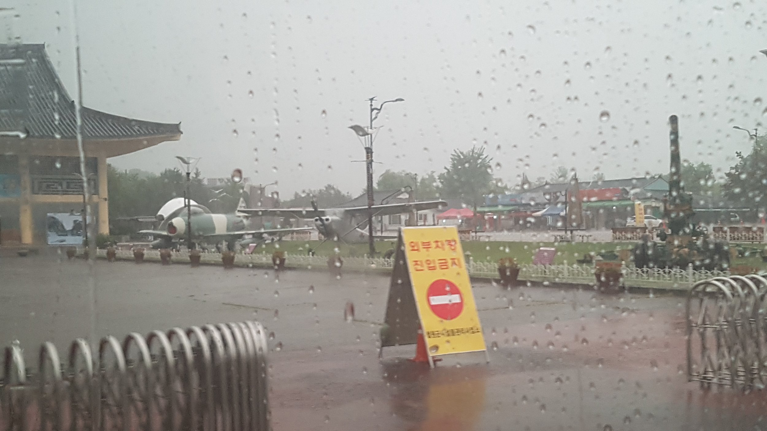
The Cheorwon Facilities Management Office / former Iron Triangle Battlefield Memorial (철의삼각전적관) at the Goseokjeong National Tourist Area. There were several retired aircraft arranged as static exhibits on the grass. From left to right, they are the F-86 Sabre, some kind of observation aircraft, painted in the grey/green camouflage typical of ROK military equipment. This juxtaposition is really characteristic of Cheorwon: a peaceful tourist attraction built around one of the most heavily fought-over pieces of territory in the Korean War.
The yellow sign in the foreground says roughly: "Entrance — vehicles prohibited."
The Iron Triangle wasn't chosen randomly as a battlefield museum. Cheorwon was strategically important because of its position in central Korea, and the surrounding region saw extremely heavy fighting during the later stages of the Korean War. The area subsequently became divided by the DMZ. Today, sites such as Woljeong-ri Station, the Peace Observatory and the former Korean Workers' Party headquarters preserve reminders of that history.
The facility itself has an interesting history. A security-tourism development program began in 1976, Goseokjeong was designated a national tourist area in 1977, and the military and Cheorwon County subsequently worked together on battlefield excavation and preservation. By 1985 it had developed into a major security-education site.
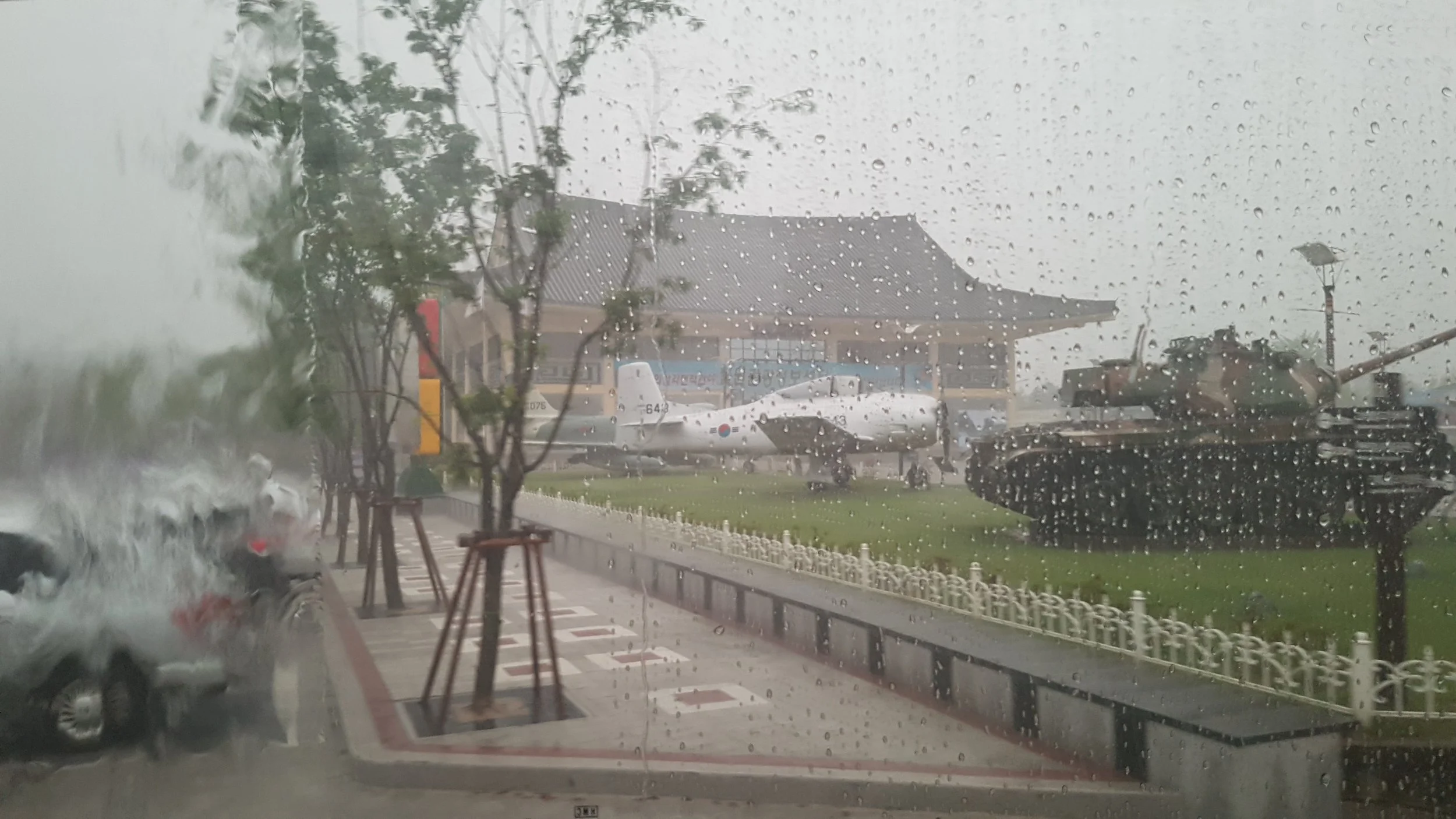
The tank on the right appears to be an M47 Patton or a closely related Patton-family vehicle. The aircraft behind is a T-28 Trojan was an American single-engine, two-seat military trainer, powered by a large radial piston engine.
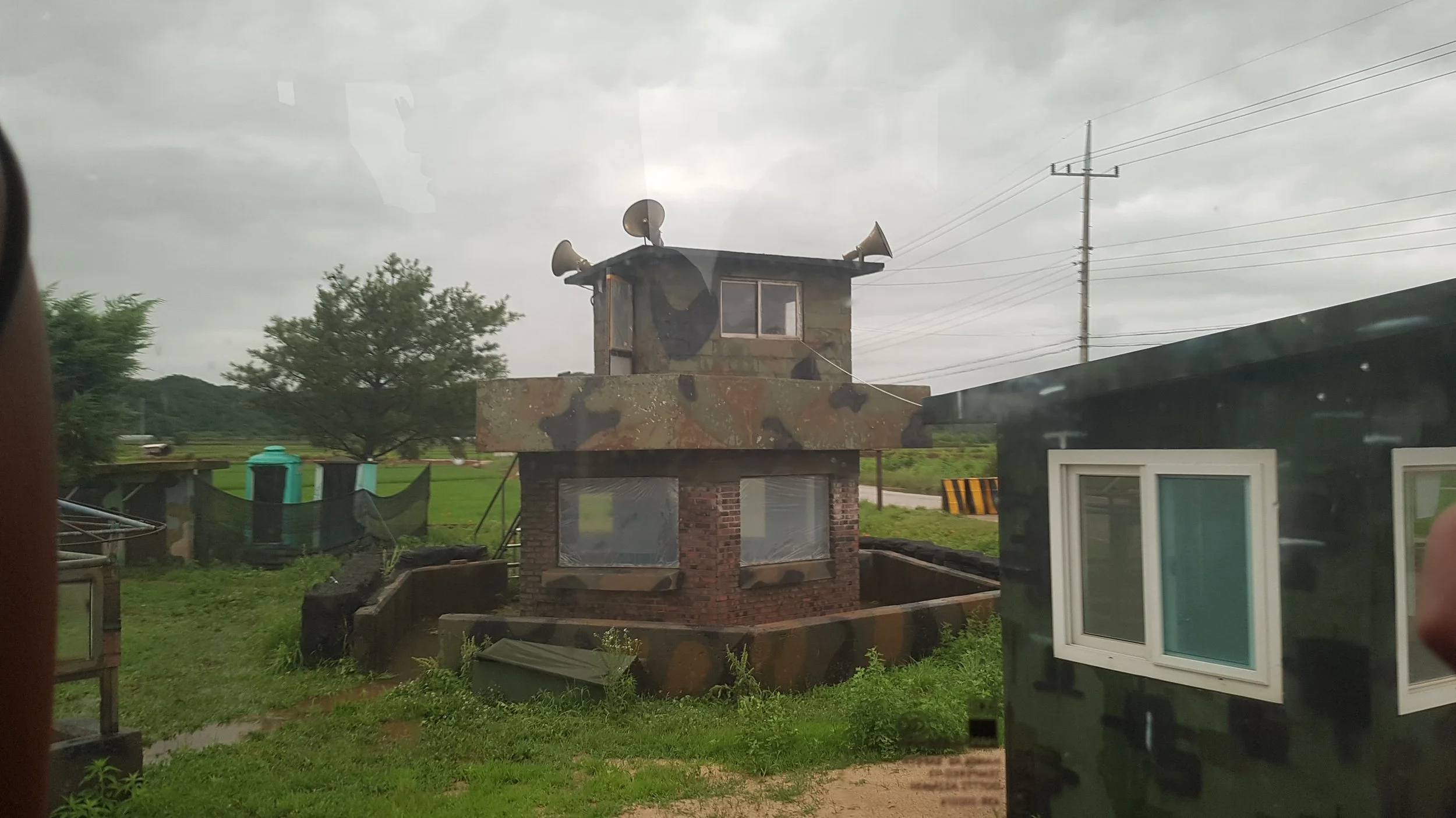
Eventually, our bus reached a military checkpoint. A Korean female soldier, decked out in gear, went up and down the bus to inspect it. Once we were cleared, the area became more sinister in its appearance.
The road gradually evolved into a winding uphill route engulfed by rainforest. The closest local Australian comparison I can make is the road to Crystal Creek Falls and Paluma. It was practically identical to that at some points. The DMZ is composed of many valleys, basins and rivers. It’s a bio-geograpically important area where mountain zone, inland wetland, fresh water and seashore ecosystems coexist. Natural conditions have been well preserved because human access was forbidden during 50 years after the armistice - minus of course the landmines.
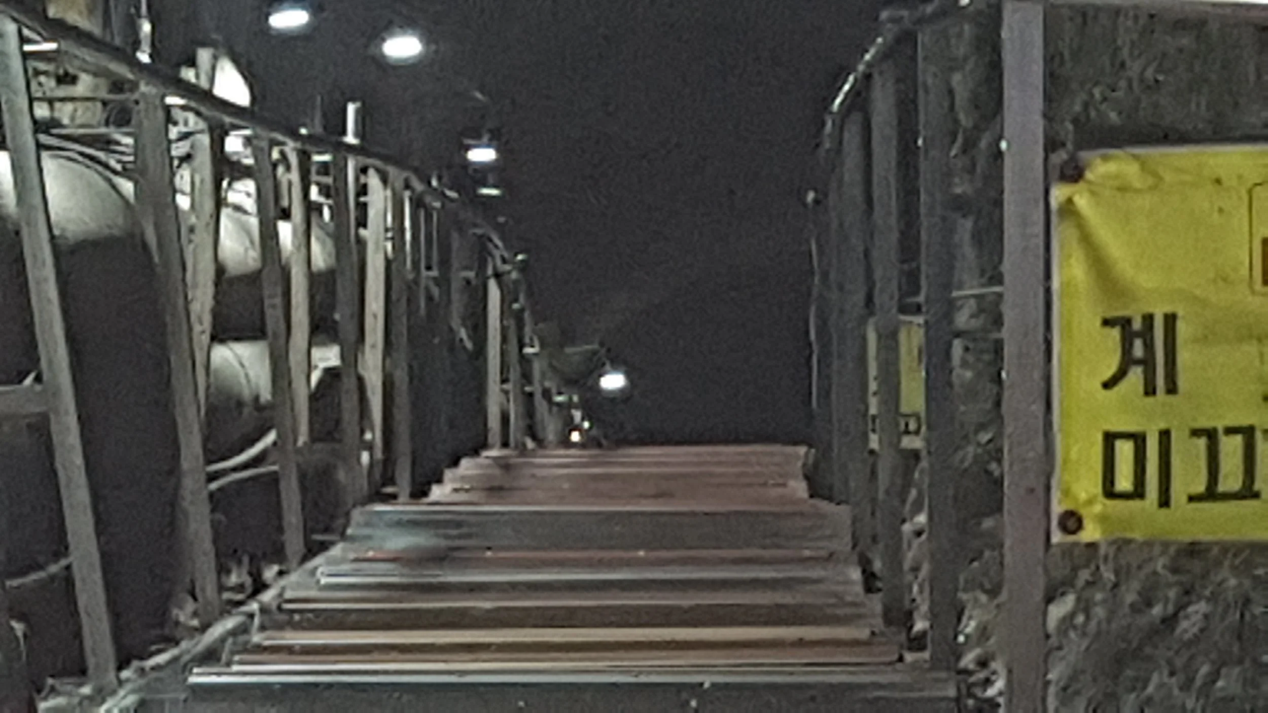
Sure enough, we reached the site of “Tunnel No. 2,” one of four DMZ-crossing tunnels dug by North Korea. It was discovered on 19 March 1975. Reaching between 50 to 106 kilometres underground, was used for a surprise southward invasion. It was believed 16,000 North Korean soldiers could rush through it in one hour. The direction of the blasting lines indicated North Korean construction. Although North Korea claimed the tunnels were for coal mining, no coal was found; the tunnels were cut through granite, and some walls were painted black to resemble anthracite.
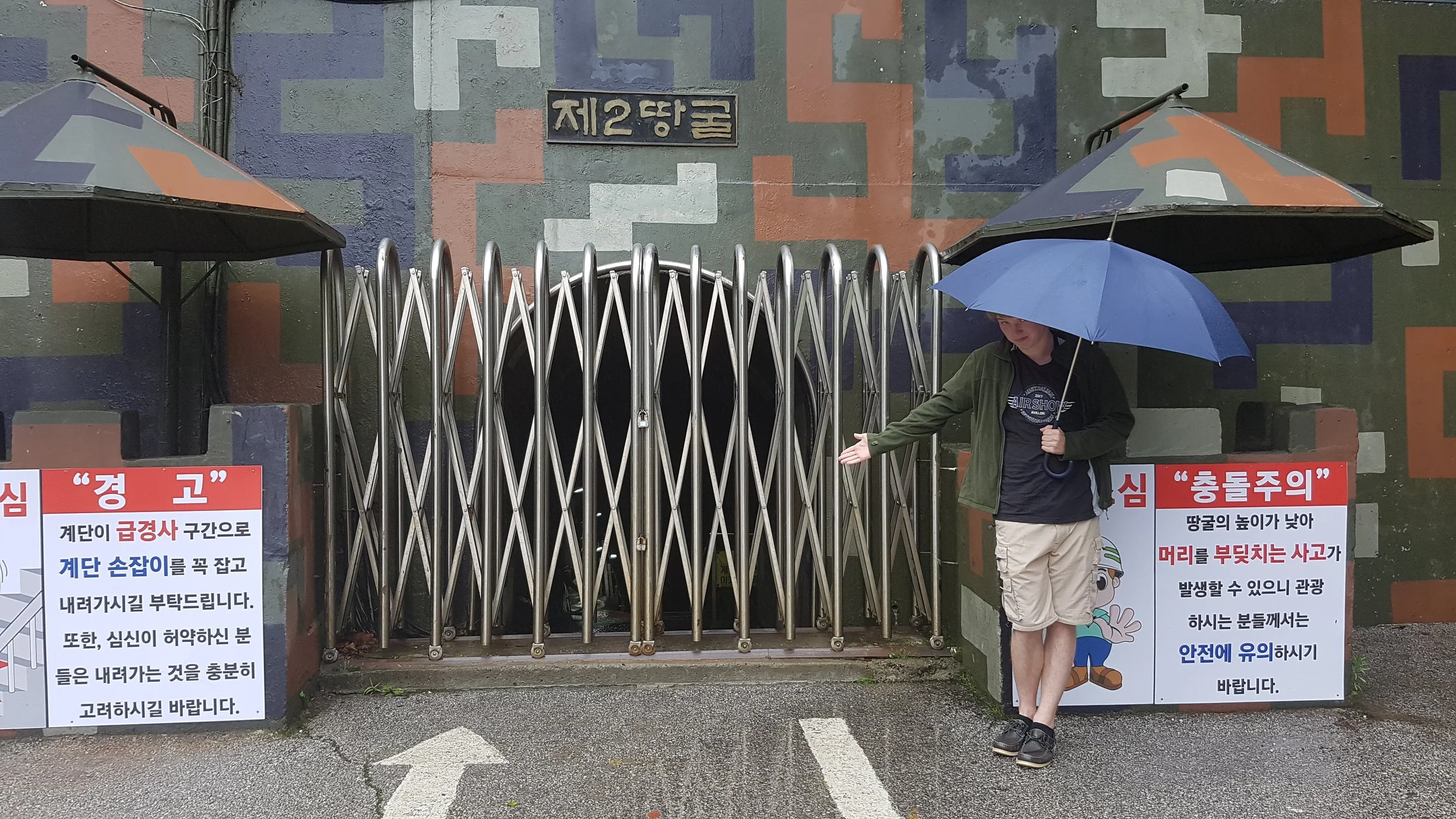
The tunnels are thought to have been intended as North Korean invasion routes. They run north–south without branches, and each new discovery revealed more advanced engineering. For example, the third tunnel sloped slightly upward toward the south to prevent water from collecting.
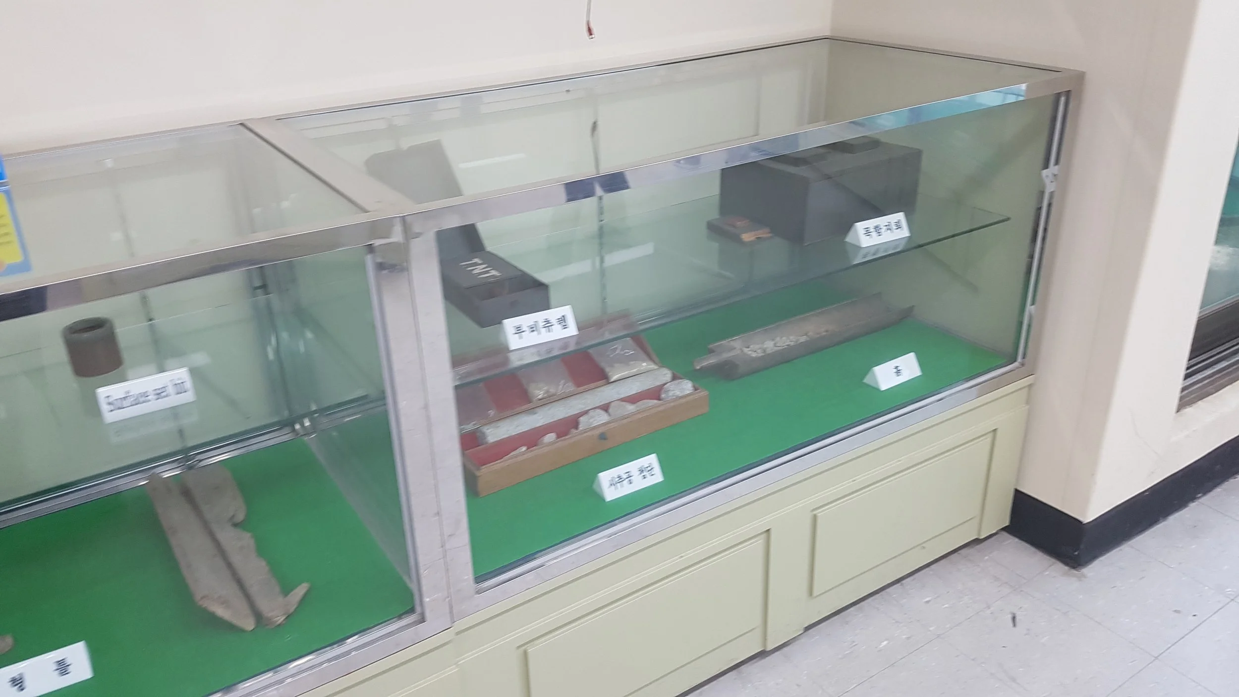
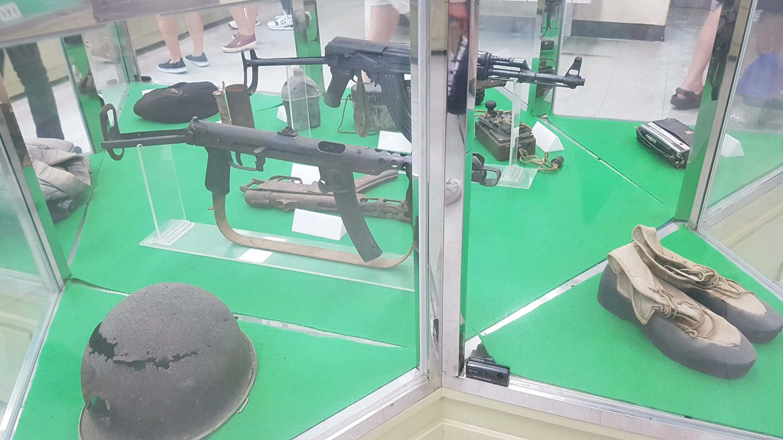
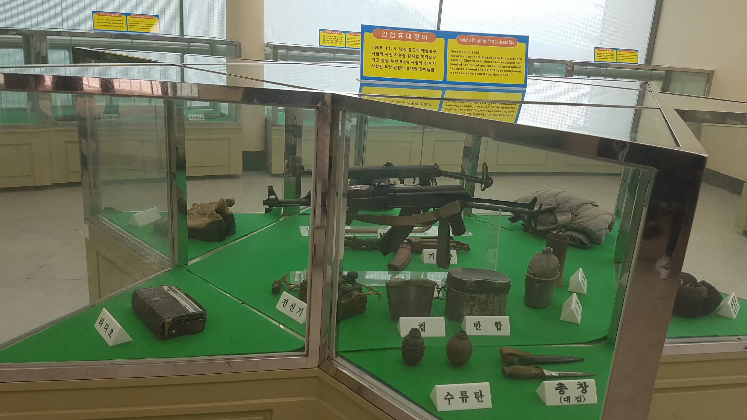
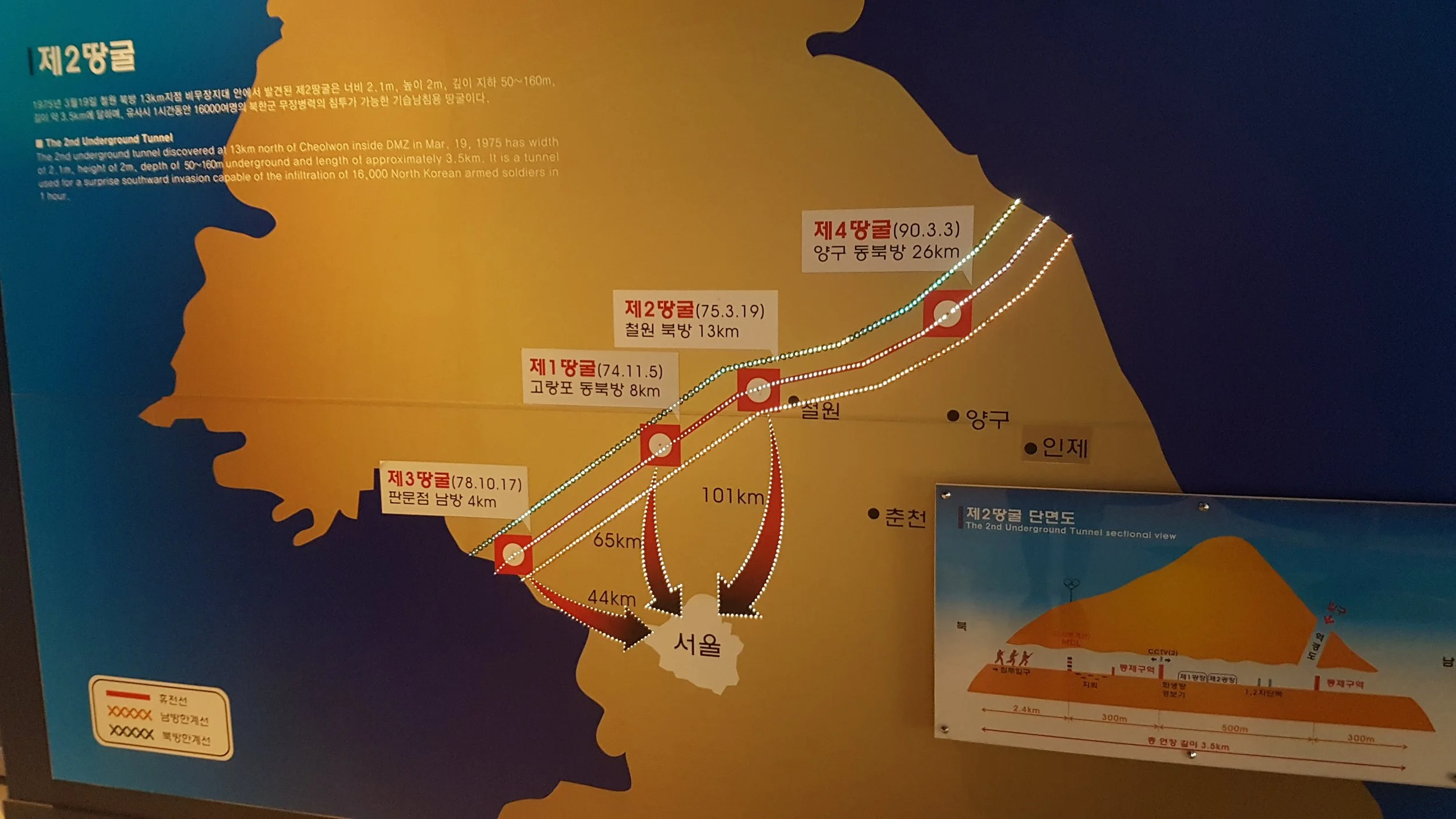
A map of the four tunnels at the Peace Observatory, with likely advancing routes into Seoul.
The bus continued on, and we got even closer to the border.
We reached the Cheorwon Peace Observatory at Junggang-ri. Figuratively, it’s up against the wall of the border. We were not permitted to photograph in the border’s direction, but essentially, it’s the long white wall and fence, surrounded by green marshland. The North lurks beyond the misty horizon like a monster of legend.
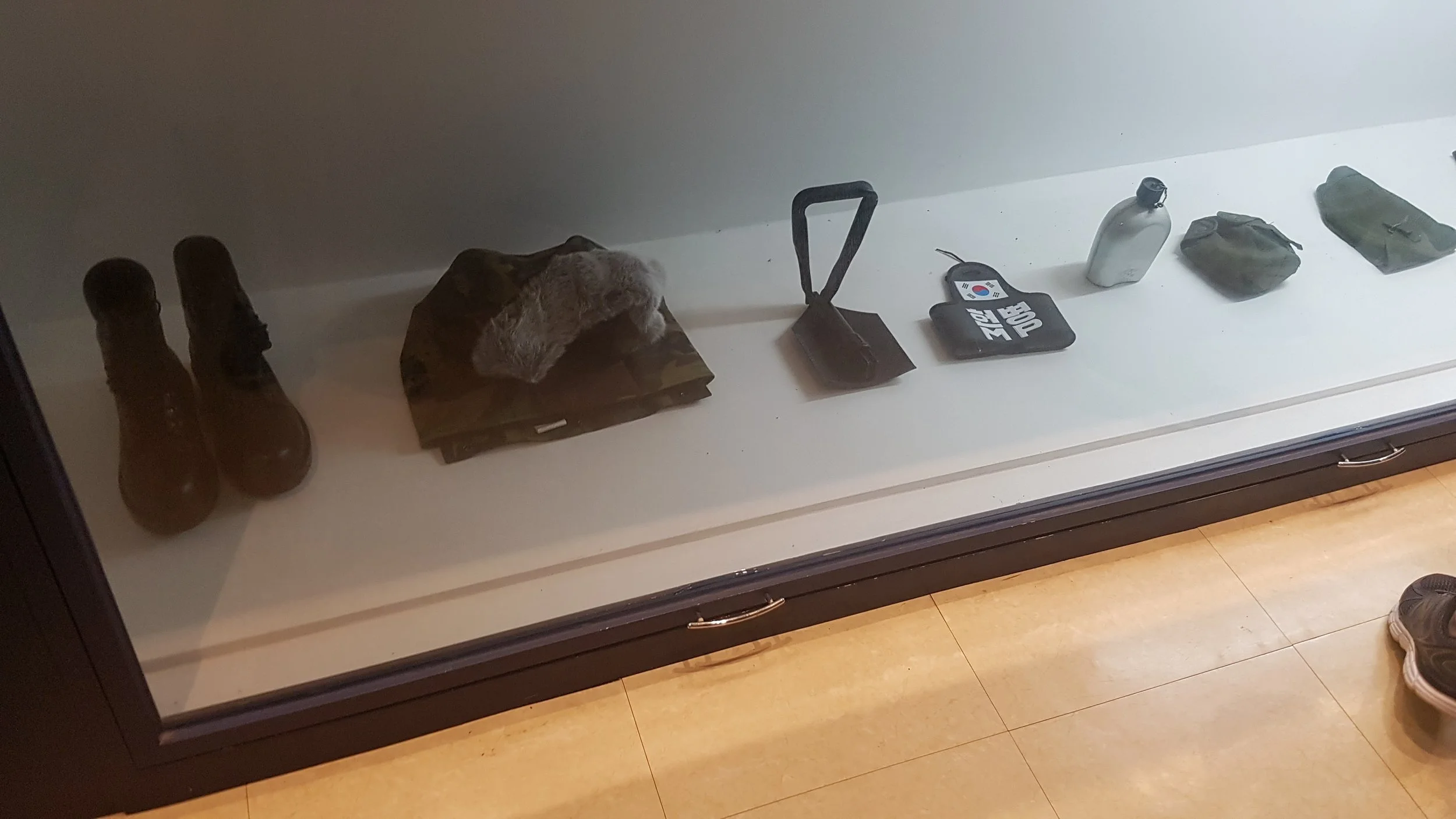
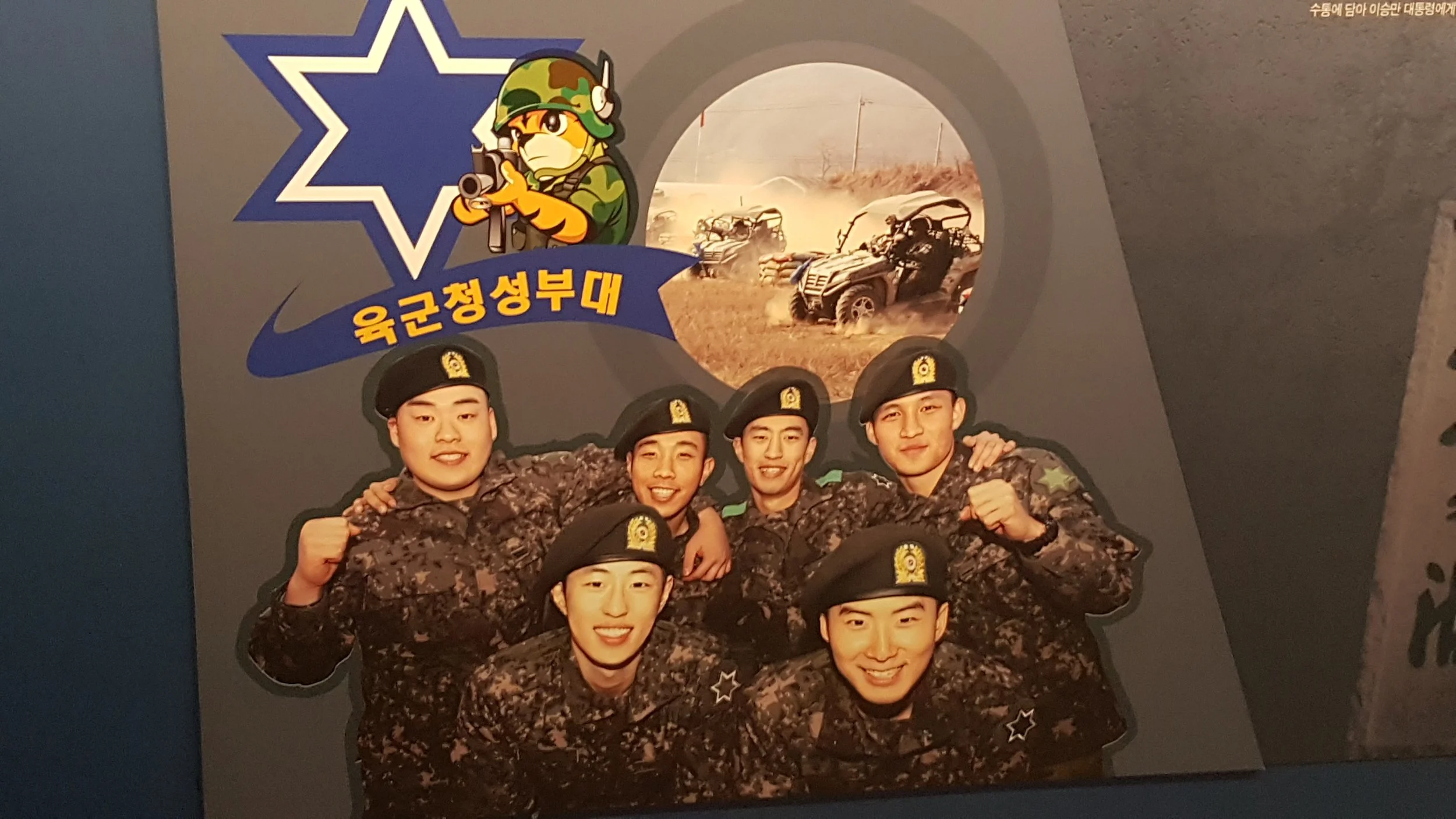
Opened in November 2007, the observatory's first floor is the exhibition hall and the second floor is an observatory. Tourists on the second floor can observe the surrounding ecosystem, the fortress of Gung-Ye Cast town, the Pyeonggang tableland, and the Seonjeon town of North Korea in the DMZ.
On display in particular stood out: The murals of the ROKS Cheonan, the Pohang-class corvette of South Korea, that sank off the country's west coast near Baengnyeong Island in the Yellow Sea on 26 March 2010, killing 46 of 104 personnel. A Korean-led official investigation carried out by a team of international experts presented a summary of its investigation on 20 May 2010, concluding that the warship had been sunk by a North Korean torpedo fired by a midget submarine. The North claims otherwise, but they have no history of truth-telling.
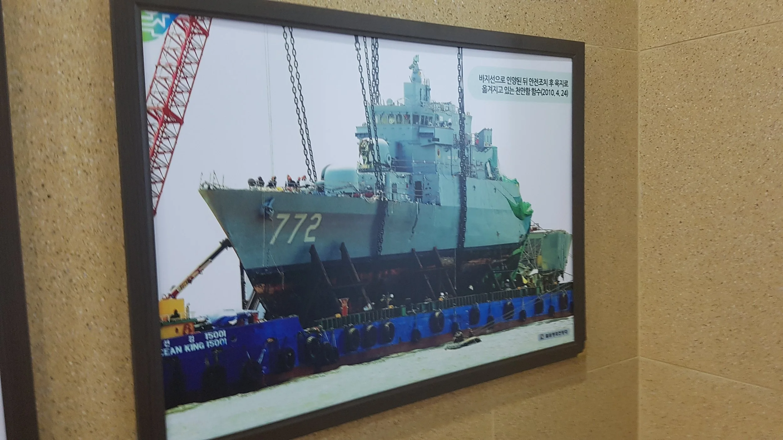
Picture of the ROKS Cheonan at a drydock, distinguishable by her hull number “772.”
“The North Koreans aren’t much for mercy,” I said.
At one point, we were taken to this lecture hall and sat down to watch a presentation of the North Korea bunkers staring back at the ROK border posts in the world’s deadliest staring contest. Clearly, this presentation needed some fittingly ominous and dramatic music to accompany such imagery like… the Back to the Future theme? Yeah, no kidding. But I digress.
One thing that I think about today is the various artworks dedicated toward Reunification. Some of them courtesy of the Ministry of Unification.
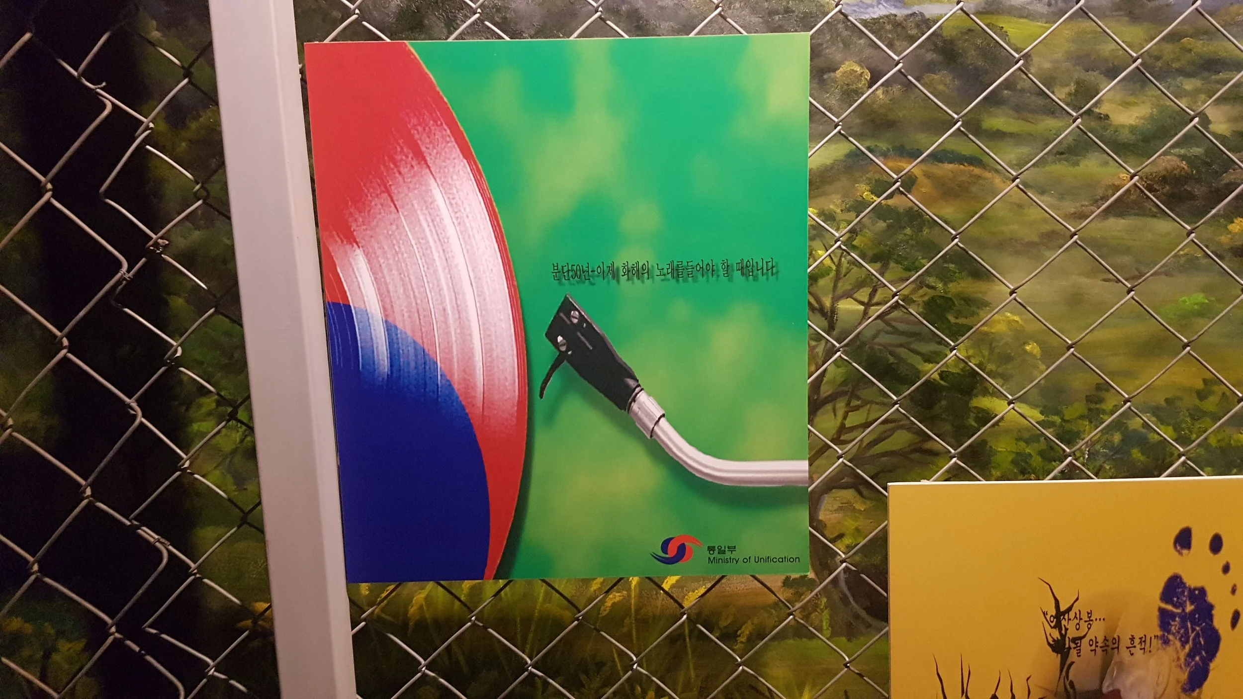
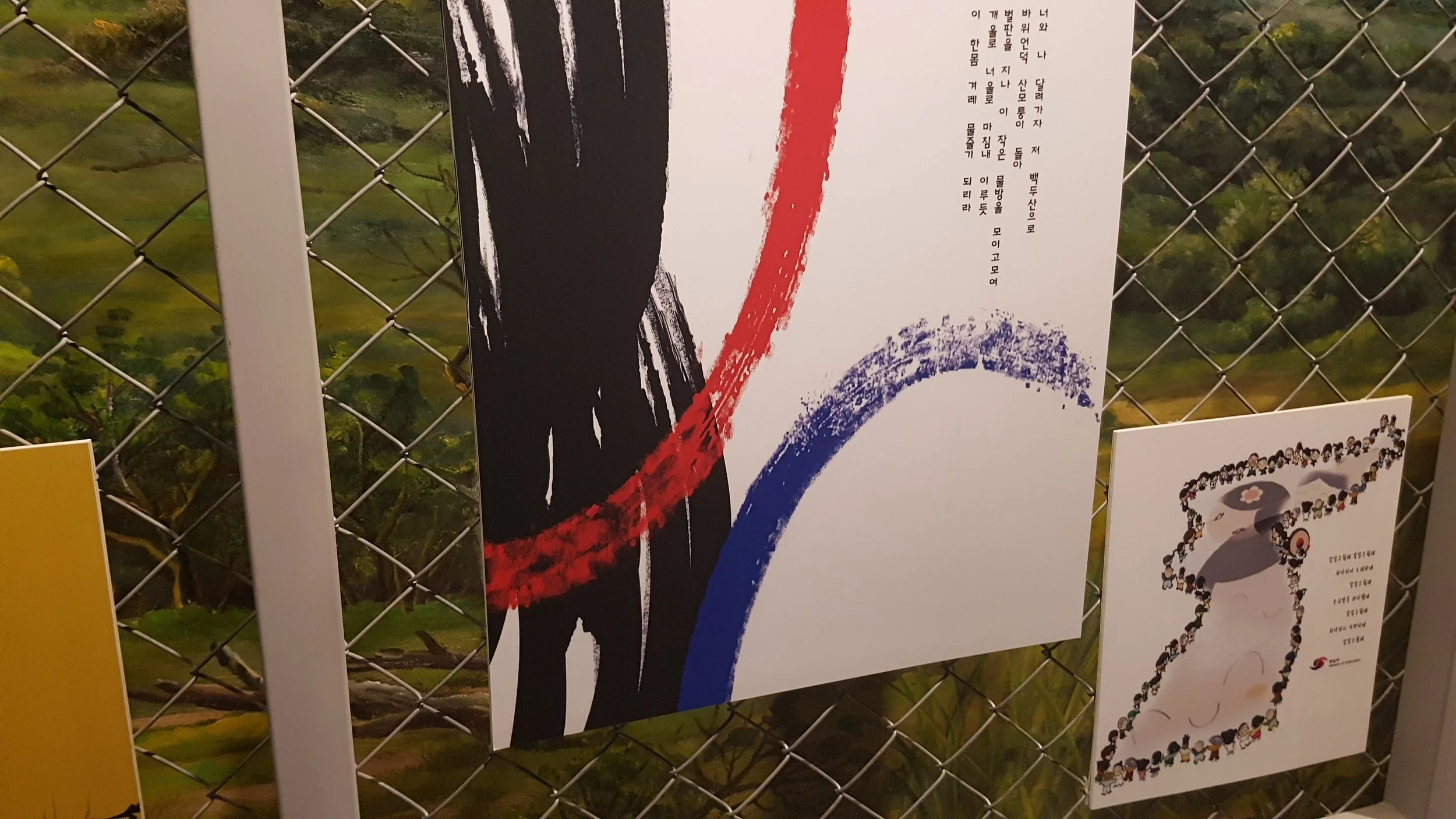
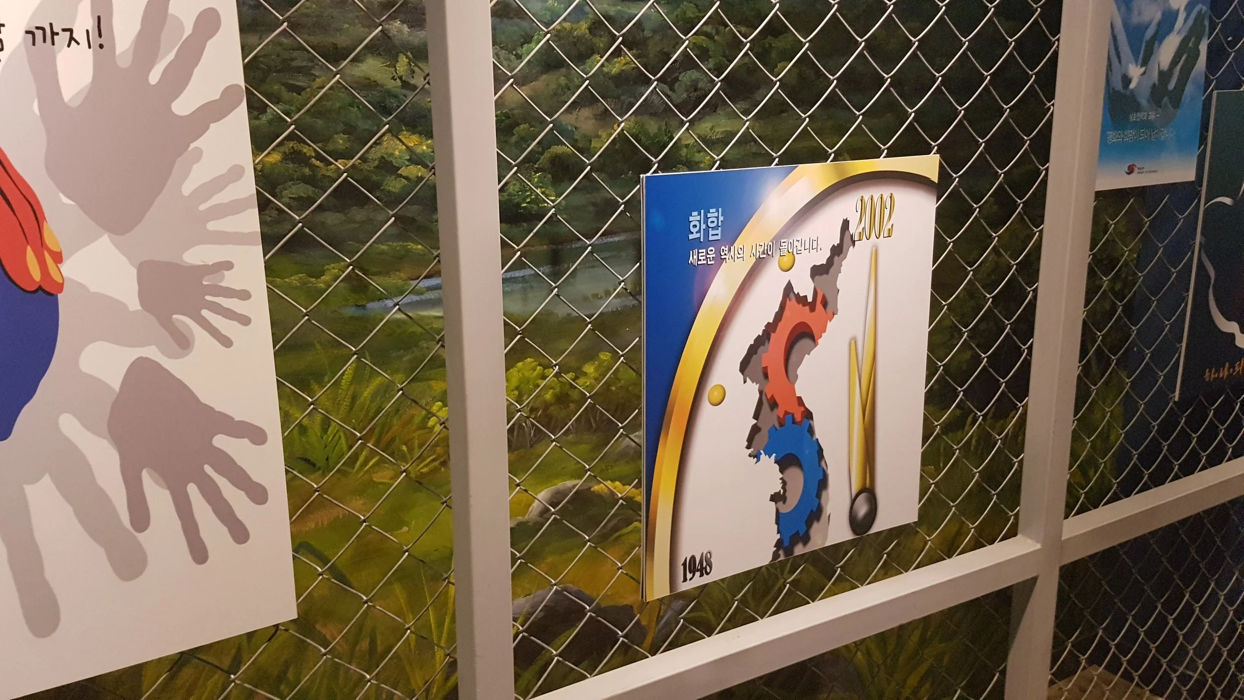
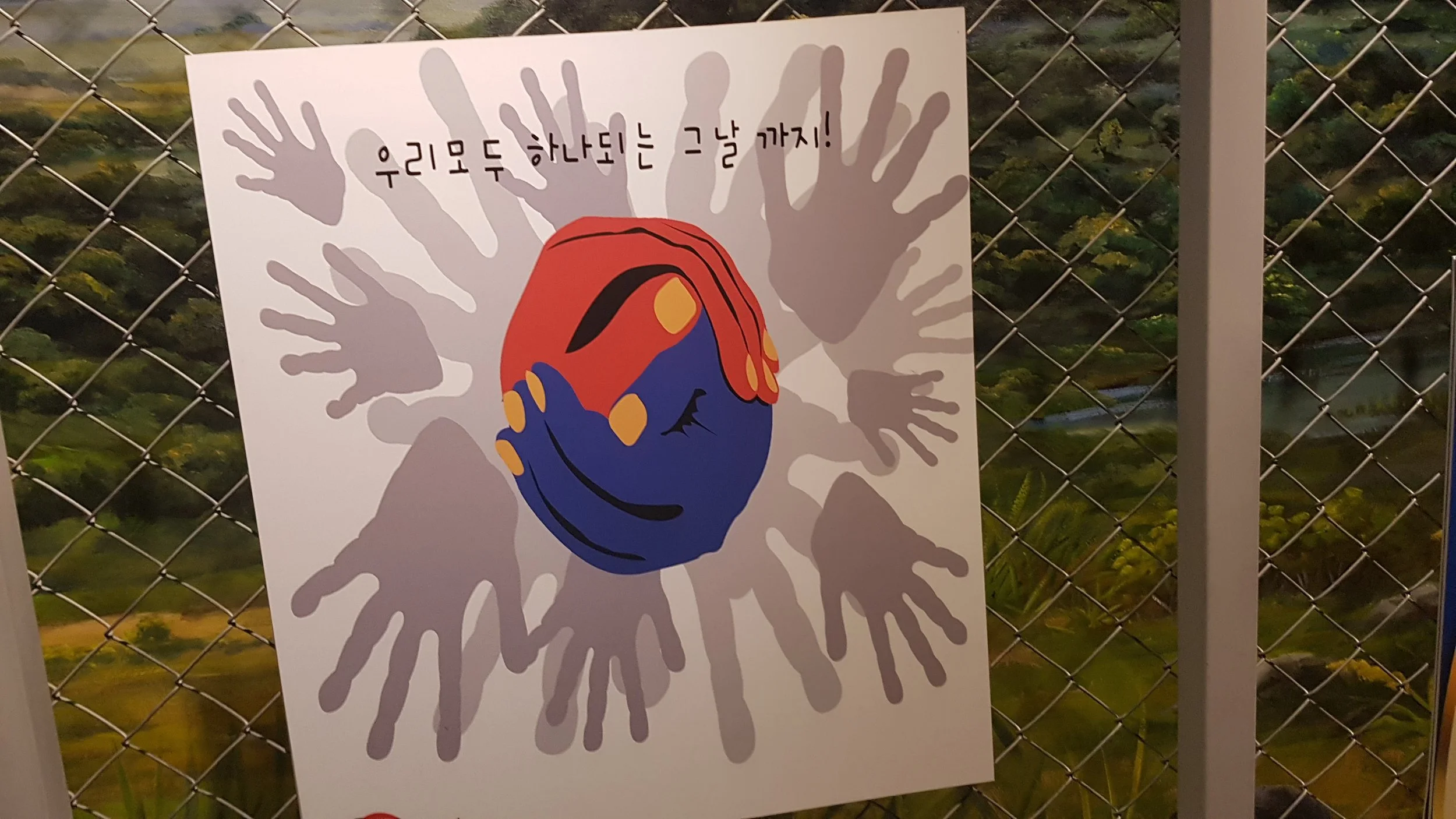
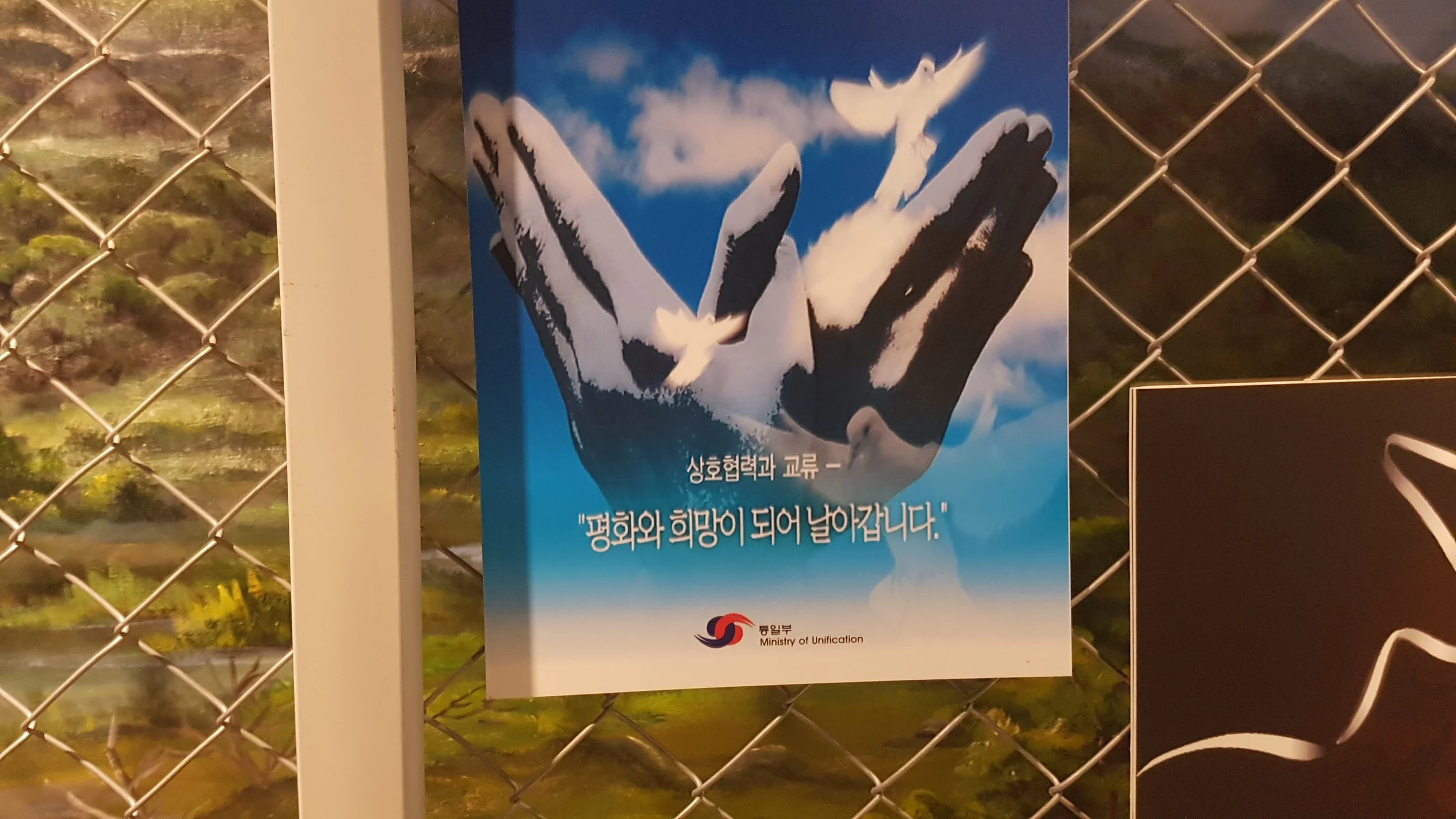
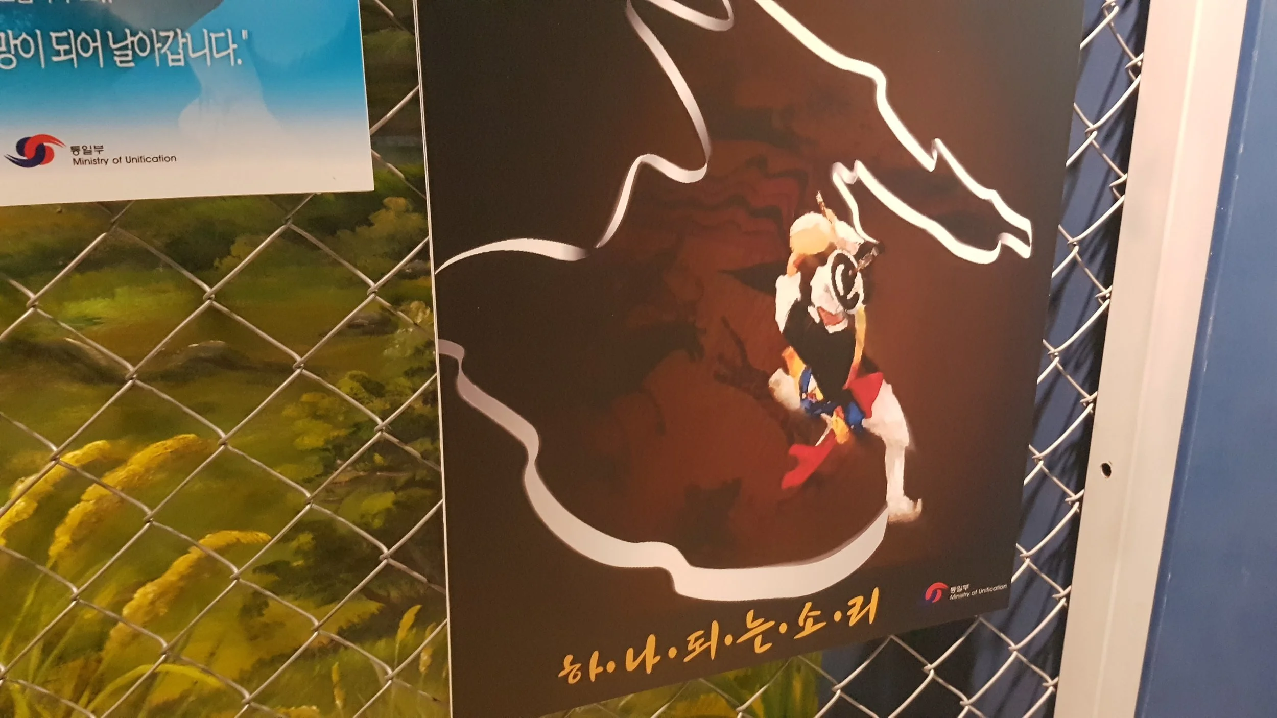
The road to reunification is long and far over the horizon.
Later in the day, we visited the site of the Korean Workers' Party Headquarters, also known as Nodongdangsa, the three-story building formerly occupied by North Korea's ruling party. Its design is a mixture of socialist realism and ancient Roman and Greek architecture to emphasise the ruling party's absolute authority. It was initially situated in North Korea, but after the Korean War, the building came under South Korean control. Only the first floor and external façade remains intact today, with the upper levels having collapsed during the war. The external façade is riddled with bullet marks and tank caterpillar markings are still present at the entrance. During the fighting, it changed hands multiple times a day.
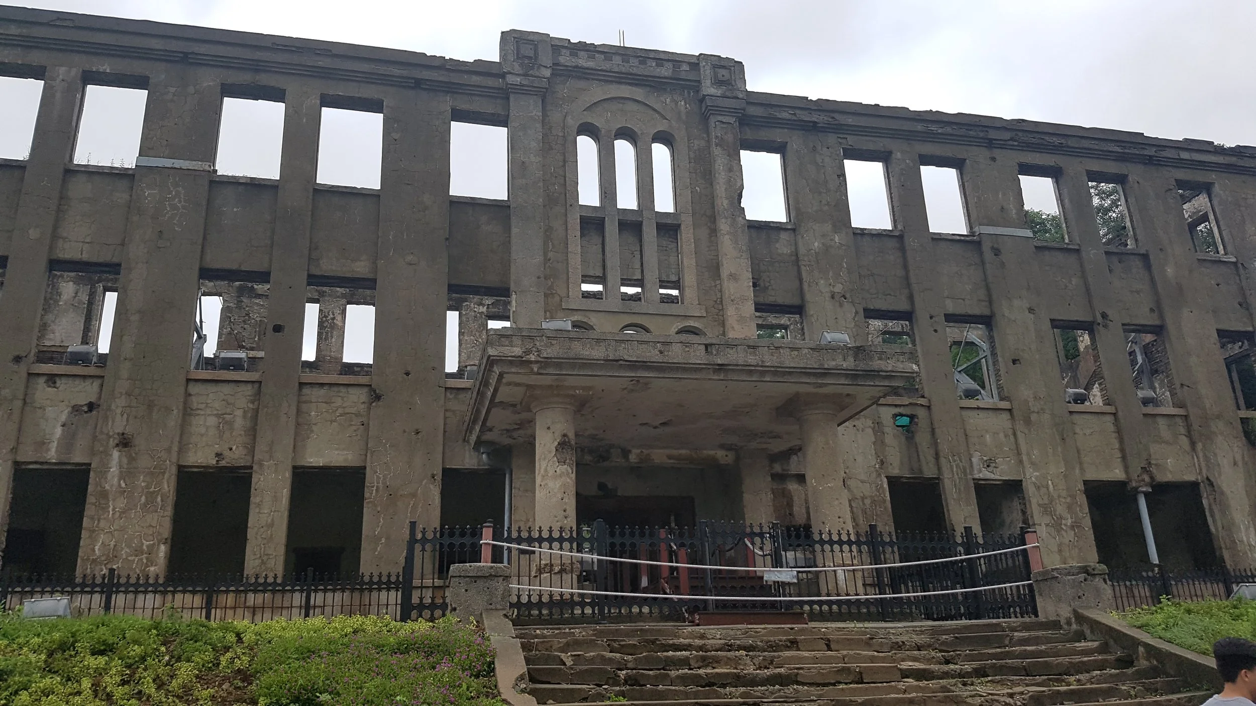
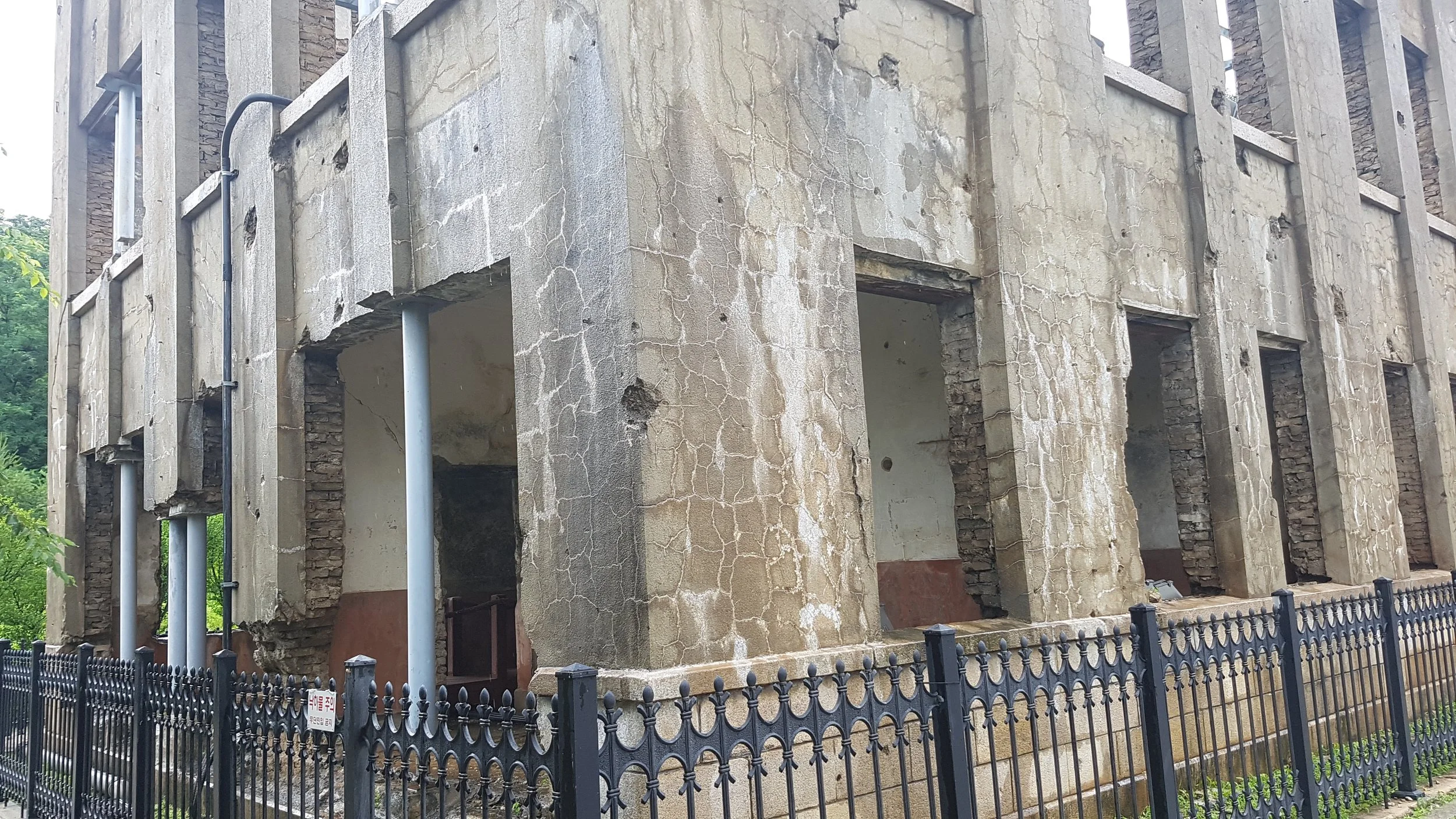
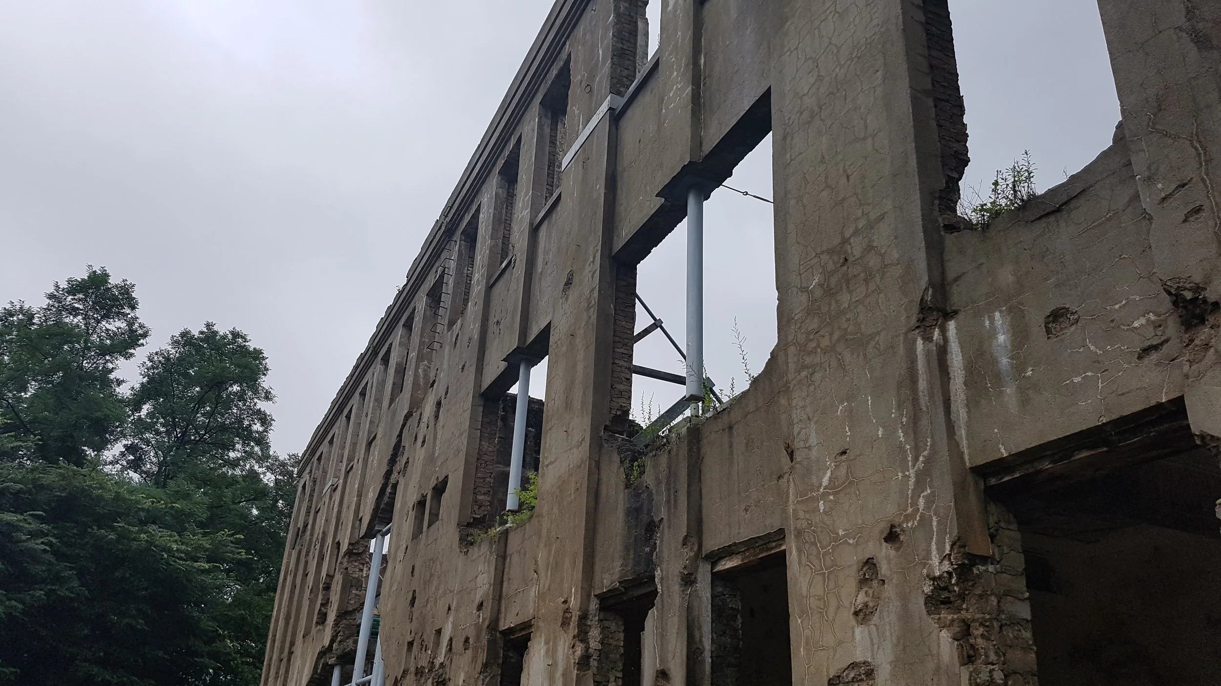
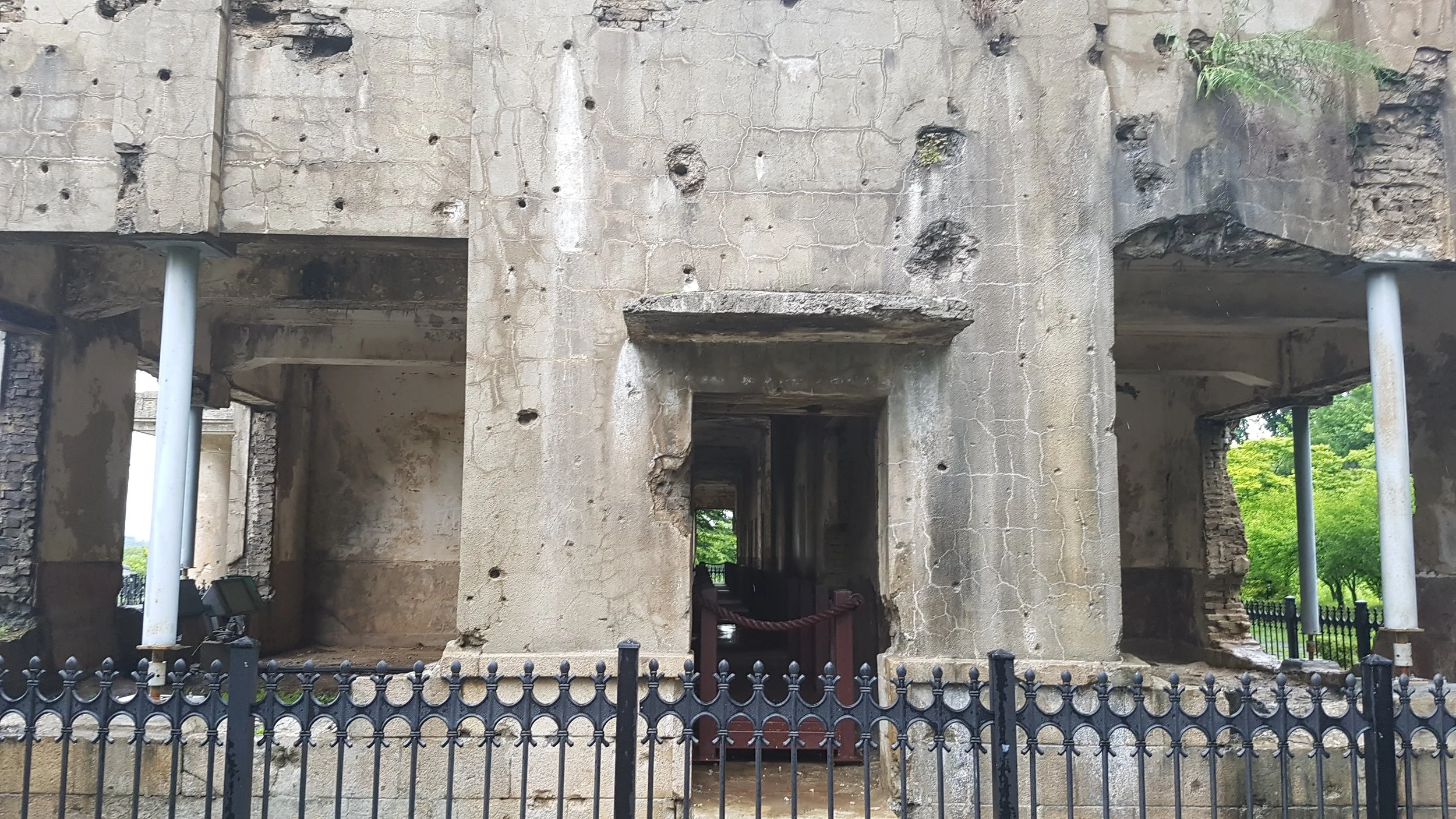
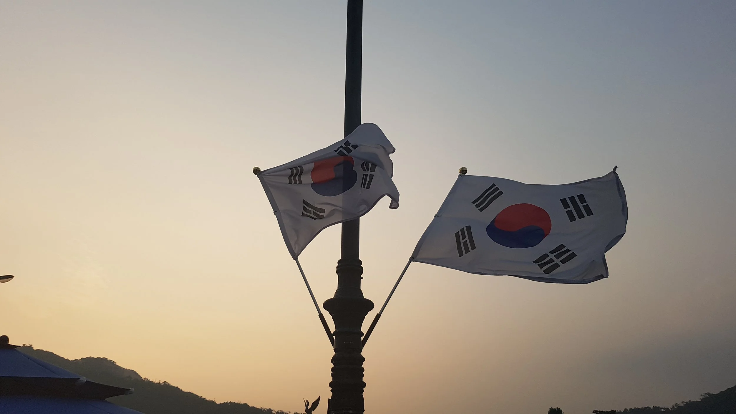
Before the site are the flags of the many nations who came to Korea’s aid as part of the UN forces in 1950. Those who answered the call to defend a nation few knew about at the time.
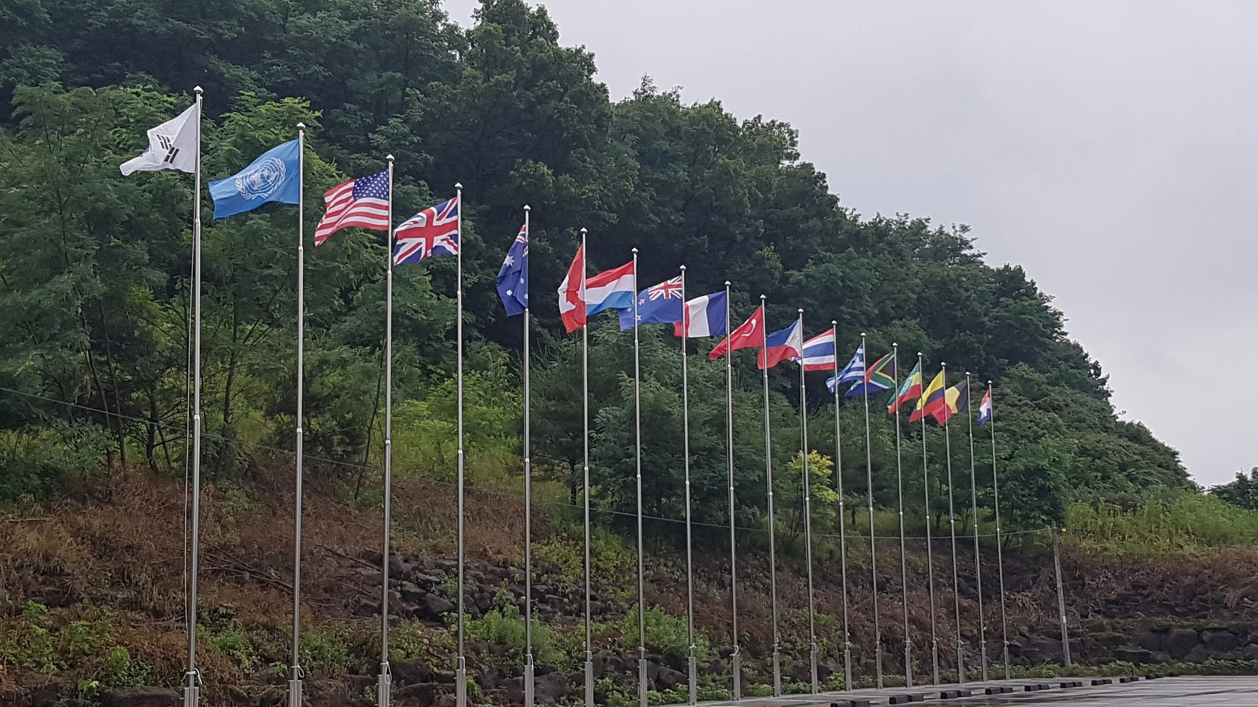
The United States, United Kingdom, Australia, Canada, Luxembourg, New Zealand, France, Türkiye, Philippines, Thailand, Greece, South Africa, Ethiopia, Colombia, Belgium and the Netherlands
Then, something truly awesome happened.
When the rain cleared, we were all standing in Cheorwon once more. Our group was given two options: Paintball or river rafting. I was among the many boys who chose paintball.
What followed next. We were put on a minibus and driven along a countryside highway. In that moment, I felt like I was in the opening scene of a video game, when the main character looks around at some other characters as they’re having some dialogue before starting an operation.
Some time passed before we reached the paintball course, far in the sticks. I had no idea where in Korea I was at the time, but likely not far from Cheorwon. After changing into our blue gear, we saw our course. It was a forest floor of soil between under shade of large trees. Our team searched for the other taking cover behind tree trunks and small green bushes. I admit, we may have had the edge by having our American lecturer on the team – a former cop and experienced old timer. He’d call them out with a soldier’s brevity! I remember going prone in the soil and mulch and aiming my paintball gun through a misting visor, making the weeds in front shake with my projectiles as I found someone. I imagined this is where an ROK soldier would find themselves if the North marched southward once again.
So, there you have it. I dare say I have rare authentic experience in a (simulated) shootout short of the 38th Parallel. Oh, the adrenaline…
Eventually, we made it back to campus at Goyang, at the story continued.
What has happened since?
As of August 2026, nine years later, the Korean DMZ is still one of the world's most heavily militarized frontiers, but the situation is somewhat different from 2017. The particularly notable development is that North Korea has spent the past two years turning the border into an even more substantial defensive barrier: fences, cleared strips, mines, anti-tank obstacles and tactical roads have been constructed along much of the DMZ. Satellite analysis published in July 2026 estimated that roughly 74% of the DMZ's length had been refortified since the project began in 2024.
And there's been a significant incident within the last couple of days: South Korea says North Korean soldiers crossed the Military Demarcation Line on the eastern front, prompting South Korean troops to fire warning shots. The North Koreans withdrew, and Seoul described the incident as consistent with the sort of accidental/operational incursions that have occurred during the North's border construction.
So this isn't simply a peaceful tourist attraction sitting beside an abandoned Cold War frontier.
My 2017 photographs from Cheorwon capture something that has become increasingly difficult to describe as merely a "demilitarized" zone. Under the 1953 Armistice, military forces and certain military activities are restricted within it. But the areas immediately outside it are extremely militarized, and North Korea has increasingly been bringing its defensive infrastructure right up toward the MDL.
South Korean officials reported in June that North Korean fencing had reached roughly 80–90 metres north of the MDL, while ground clearance for mines had occurred as little as 5–10 metres from the line.
Worse yet, the psychological atmosphere has changed, which may actually be more important than the physical barriers. Kim Jong-un has increasingly abandoned the old language of eventual Korean reunification. North Korea has described South Korea as a hostile separate state, rather than simply a temporarily divided part of one Korean nation. That represents a major ideological shift. South Korean President Lee Jae Myung, meanwhile, has been attempting to reopen dialogue and reduce tensions. On 15 August 2026 he called for talks aimed ultimately at replacing the armistice with a peace regime. Pyongyang has so far rejected or ignored those overtures.
Simultaneously, North Korean engineers are building fences, roads, mines and anti-tank obstacles along the border.
The propaganda war has also quietened somewhat. South Korea removed its frontline propaganda loudspeakers in August 2025, after Lee ordered their broadcasts suspended. North Korea subsequently stopped its own noise campaigns, although it initially retained some of its equipment.
So the border isn't necessarily experiencing the same constant psychological warfare that visitors might have encountered during some earlier periods. But militarily, it's absolutely not relaxed
In fact, today is a rather interesting moment…
The annual Ulchi Freedom Shield exercise between South Korea and the United States began today, 17 August, and is scheduled to run through 27 August. About 18,000 South Korean troops are participating. The exercise incorporates conventional operations alongside cyber, GPS-disruption and counter-drone scenarios. North Korea has condemned the exercise as a rehearsal for invasion and has threatened a response. It has also recently conducted ballistic-missile launches.
And there's a major wrinkle this year: POTUS has ordered the U.S. to significantly reduce the scale of its exercises with South Korea, despite the exercises going ahead. That has generated considerable concern about deterrence and alliance credibility.
So, ironically, I was compelled to write this during a particularly consequential week on the peninsula.
What would I see if I went back to Cheorwon? Still the extraordinary juxtaposition of ordinary Korean countryside with an active military frontier. But beyond the tourist areas, the military landscape has changed substantially. The North Korean side in particular is becoming much more visibly engineered: cleared vegetation, roads, fencing, obstacles and defensive positions are appearing throughout areas that previously looked considerably more natural. Satellite imagery has identified extensive new construction along the DMZ.
And that makes the 2017 photographs rather valuable as a historical record. The important thing is that the DMZ hasn't become a war zone. There hasn't been a return to Korean War-style fighting, but neither has the underlying confrontation disappeared. If anything, North Korea's new border policy has made the physical separation between the two Koreas more permanent and more heavily engineered.
For now, however, both sides are waiting.
Waiting… waiting… waiting…
Sources:
Woljeong-ri Station (월정리역)- VISITKOREA
Sinking of ROKS Cheonan - Wikipedia
North Korea has refortified 74% of border in DMZ, satellite imagery shows | NK PRO
https://www.reuters.com/world/asia-pacific/south-korea-fired-warning-shots-after-north-korean-soldiers-crossed-demarcation-2026-08-16
S. Korea slams N. Korea's expanded border fencing as armistice agreement violation | Yonhap News Agency
South Korea's Lee urges talks with North Korea to replace armistice with peace | Reuters
Trump seeks cuts to US-South Korea drills, reviving earlier objections | Reuters
North Korea criticizes upcoming US-South Korea military drills | AP News
